Victoria’s quarry regions: Melbourne, Geelong, Ballarat, Bendigo and Gippsland
A locality-led guide to 453 current-authority records across five practical Victorian research districts, with the material questions and evidence limits that matter in each.
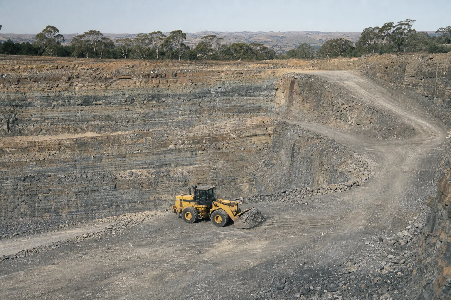
Contemporary editorial illustration commissioned in 2026. It is not evidence of a named place, authority or geological unit.
Dating & evidence note
This is a new 2026 report. It does not claim to have been published earlier. Counts describe the sourced records in this register at review date and are not production, reserve or legal-status claims.
Too long; didn’t read
The short version
The five editorial districts contain 453 current-authority records: Melbourne supply ring 72; Geelong and the western plains 91; Ballarat and the central highlands 62; Bendigo and north-central Victoria 56; Gippsland 172.
Counts describe authority records inside named local-government groupings, not operating quarries, production, reserves, demand or regional self-sufficiency.
Different districts raise different research questions: metropolitan haul distance and land conflict, volcanic material around Geelong and the western plains, goldfields history around Ballarat and Bendigo, and a broad spread of construction materials across Gippsland.
Every proposed site, supplier, visit or historical claim still needs the authority record, source material, permission and current verification.
Author and method: Prepared by the institutional Quarry Desk. Districts are transparent editorial groupings of local-government names, not statutory resource regions or market areas.
How these five districts were drawn
People search by cities and familiar regions; regulators publish by authorities, polygons, local government, map sheets and regulatory regions. This report bridges those two systems without pretending to create new official boundaries. Each district is a fixed list of local-government names found in the public authority layer. A record is counted once inside a district when its source locality matches that list.
The method is intentionally readable rather than comprehensive. Municipalities outside the five groups still contain many Victorian authorities and remain visible on the state map. The selected districts answer common city and regional searches and create a starting point for deeper reporting. They do not imply that supply chains stop at council borders or that every material used in a city comes from the nearest authority.
The counts can be reproduced from the dated source snapshot, but they can change when authorities, localities or publication rules change. They are counts of current-authority records at review date. An authority may cover intermittent or inactive extraction, multiple materials or a large area; the map point is a derived reference point, not an entrance or legal boundary.[1]
Melbourne supply ring: 72 current authorities
The Melbourne grouping covers Cardinia, Whittlesea, Melton, Wyndham, Yarra Ranges, Kingston, Mornington Peninsula, Hume, Knox and Casey. It contains 72 current-authority records in the project snapshot. The phrase “supply ring” is editorial: it highlights municipalities frequently encountered in research around metropolitan growth, but it is not the Victorian Government’s definition of a strategic extractive-resource area.
Metropolitan quarry research is shaped by proximity. Sand, gravel, hard rock, basalt and other heavy construction materials must reach projects, while extraction competes with housing, transport, environment and other land uses. The useful questions are not simply “how many quarries?” but which material is named, what approvals and planning controls apply, how haul routes work, and whether the source is current enough for the decision.[2][5]
For a city-facing article, avoid naming an authority as a current supplier without current company or product evidence. A register holder, authority site name and trading quarry name can differ. Start with the authority identifier, then check the Mining Register, planning documents and authorised public information. Never turn the derived map point into directions for a visit.[7]
Geelong and the western plains: 91 current authorities
Greater Geelong, Moorabool, Golden Plains, Colac Otway and Surf Coast form the western-plains grouping, with 91 current-authority records. The district is a useful place to search across volcanic and sedimentary material vocabularies because source records can name basalt, scoria, tuff, hard rock, limestone, sand, gravel, clay or broader stone categories.
The geological story should be read at the correct scale. A volcanic landscape does not make every authority a basalt quarry, and a limestone or sedimentary label does not identify a product specification. GeoVic can connect the locality to mapped geology and reports, while the authority record preserves what the regulator dataset actually says. Where the two appear to differ, investigate the source documents rather than choosing the more familiar label.[4]
Geelong-focused reporting can become much richer through planning histories, transport routes, brick and lime industries, council records and family archives. Those sources can explain why extraction occurred in a place. They must still be dated and attributed, and a historical quarry should not be presented as a current authority unless the live register supports it.
Ballarat and the central highlands: 62 current authorities
Ararat, Ballarat, Central Goldfields, Pyrenees and Hepburn contain 62 current-authority quarry records in this grouping. The same country also carries an exceptionally visible mining-history identity. Keeping quarry authorities and historical mine records as separate record types prevents the nineteenth-century gold narrative from swallowing the construction-materials story.
A city article can connect building stone, road material, clay, gravel and crushing activity to urban growth without claiming a century of publication history. Rate books, newspapers, geological survey reports, planning files and local collections can support real historical timelines. Current authority data then provides a separate contemporary layer. The article should show when each source was created and when the modern report was assembled.
Sparse or ambiguous material information should become a call for evidence. A former employee may know a local product name; a family may hold dated photographs; a council file may identify an old gravel reserve. Publish the corroborated trail, attribute interpretation and keep unverified location or ownership claims private until checked.
Bendigo and north-central Victoria: 56 current authorities
Loddon, Mount Alexander, Greater Bendigo, Campaspe and Gannawarra contain 56 current-authority records in the north-central grouping. Like Ballarat, Bendigo invites a strong historical-mine search. The contemporary quarry layer broadens the picture to the sand, gravel, hard rock, clay and other extractive materials that support towns, roads, farms and regional construction.
The district crosses different landscapes and demand patterns, so a single “Bendigo quarry market” claim would need evidence beyond authority count. A useful report can compare material terms, authority dates and municipalities, then ask where products are documented and how far they are transported. It should not infer sales territory, capacity or economic importance from map density.
Historical names need careful matching. Business names change, locality spellings vary and a familiar mine name can be reused for a road, reserve or quarry. Authority identifiers, map sheets, coordinates with stated accuracy and dated documentary sources are better matching anchors than name alone.
Gippsland: 172 current authorities
East Gippsland, Wellington, Baw Baw, South Gippsland, Bass Coast and Latrobe contain 172 current-authority records, the largest of the five selected groupings. “Gippsland” covers very different geology, settlement and transport contexts. The number is a reason for more local segmentation, not a conclusion that the region is one uniform extractive market.
The public layer can surface sand and gravel, hard rock, sedimentary stone, limestone, clay, earth or peat and other material terms across the region. A geological or product story must preserve the exact authority label and then move to GeoVic, planning sources and current supplier evidence. Brown-coal history and major energy narratives should not obscure the many smaller extractive records.
Gippsland is also where local evidence can add meaningful resolution. Regional newspapers, municipal files, farming and transport histories, environmental studies and family collections may explain sites that have little web presence. The contribution desk can hold a lead privately while editors establish authority, consent and documentary provenance.
The recipe for a credible city or family report
Begin with one search intent: current quarry orientation, material history, family record, planning context or supplier discovery. Use a unique title and metadata rather than generating near-identical “quarries near” pages for every suburb. Include a TL;DR, institutional byline, publication and last-edit dates, a transparent boundary, a map with an access caveat, primary sources, FAQ and links to the underlying records.
For history, separate the date of the source from the date of the article. Quote sparingly, preserve the document title and repository, and explain uncertainty. For families, obtain permission, keep ownership and attribution choices explicit, and do not invent people, quotations or narratives to make a town appear better documented than it is.
For current operations, verify the authority and current organisation information; for products, request current technical evidence; for site access, obtain permission. For speculative geology, label it as a hypothesis and show what would test it. The result can be interesting precisely because the reader can see where knowledge ends and where a useful contribution begins.
Four reader paths through the regional data
A quarry operator or manager can use the district list to find neighbouring authority records and compare the exact material and regulator wording, then return to the live source for changes. The map is not a competitor-capacity model: it says nothing reliable about output, customers, reserves or product quality. Its value is orientation and source discovery.
A civil buyer should start with location, required standard, volume, timing and delivery constraints, then use the material categories to discover possible sources. The buyer still needs current supplier confirmation, product data and test evidence. Authority status does not prove that a product is manufactured or available, and a nearby point does not establish the lawful haul route.
A planner, researcher or journalist can preserve the district filter and retrieval date, then compare the record set with strategic-resource, geology and planning layers. Counts should be quoted with the definition and date. A family or local historian can search authority identifiers, site-name variants and map sheets alongside newspapers, council files and archives, keeping personal recollection clearly attributed until documentary support is found.[4][5]
Register map
The map makes distribution legible without implying a tenure boundary. Hover a point to identify the record; use the working list for the full source page.
Victoria’s quarry regions: Melbourne, Geelong, Ballarat, Bendigo and Gippsland453 plotted records
Orientation only. Points are source coordinates for published records; they are not tenure, access or regional boundaries.
This reading list shows the first 30 alphabetically; the linked commodity or state index carries the remainder.
Frequently asked questions
6 answers
Are these official Victorian quarry regions?
No. They are published editorial groupings of named local governments for readable research. Official planning and resource layers remain with the Victorian Government.
Which selected district has the most current-authority records?
Gippsland has 172 within the six local governments used here. That is a record count, not production or market share.
Does a city count show how much material is available?
No. It does not establish extraction, remaining material, product range, capacity, approvals beyond the authority record or commercial availability.
Why are some Victorian councils not included?
The five groups answer common city and regional searches. All published Victorian records remain available on the state register page.
Can a historical quarry be added?
Yes, with a source. Historical records are kept distinct from current work authorities and labelled with their real documentary dates.
How can a family contribute photographs or site names?
Use the contribution form and choose family record or archive. Include approximate dates and context; publication follows rights, consent and provenance review.
Send a source-backed correction, material or geology lead, event, current-site
evidence, photograph or family record. We preserve the evidence level and credit
you—or keep you anonymous—after human review.