Victoria quarry map: what 911 current work authorities actually tell us
A source-led reading of Victoria’s current extractive-industry authority layer, the materials it names, the gaps it leaves, and the correct next step for regional research.
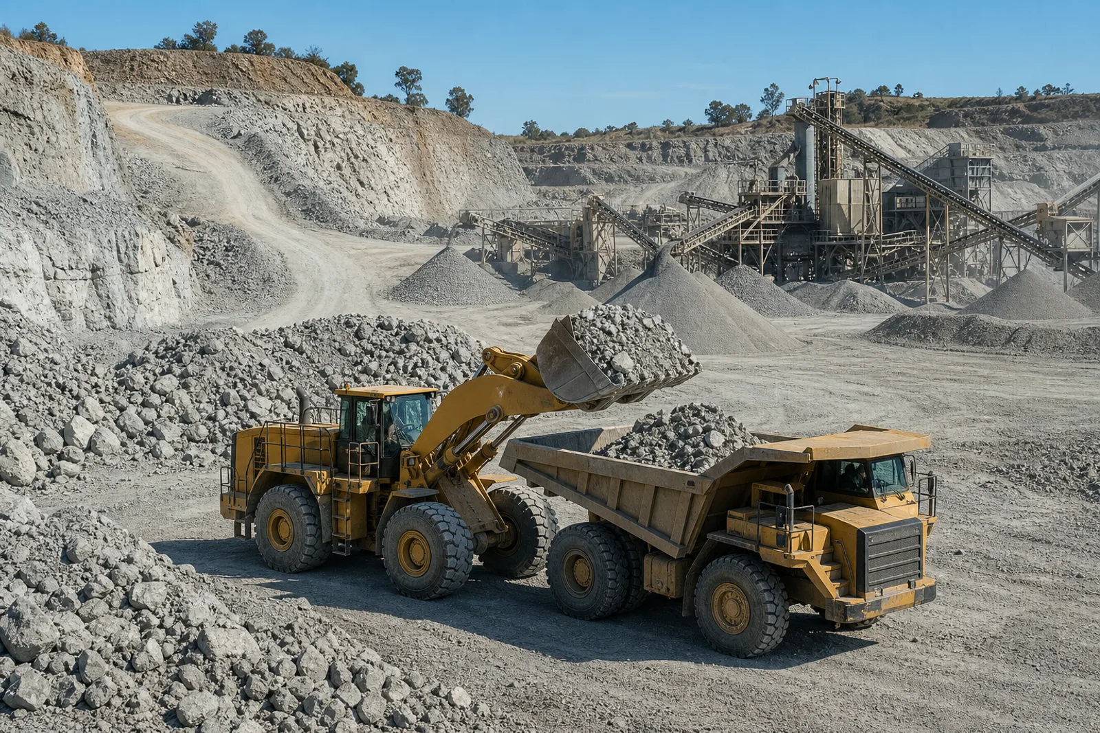
Contemporary editorial image. It illustrates extractive-industry work generally and is not evidence for a record named in this report.
Dating & evidence note
This is a new 2026 report. It does not claim to have been published earlier. Counts describe the sourced records in this register at review date and are not production, reserve or legal-status claims.
Too long; didn’t read
The short version
This register maps 911 Victorian quarry records whose source status was current authority at review date.
The largest mapped material groups are sand and gravel, hard rock, limestone, sedimentary stone, basalt, scoria/tuff, clay, granite and hornfels.
The source is a regulatory tenement layer, not a production survey, reserve estimate, product catalogue or permission to enter land.
Use the map to identify an authority and material term, then verify the live record, geology, planning position and operator information with the responsible source.
Author and method: Prepared by the institutional Operations Desk from the Victorian Government authority layer and regulator guidance.
Why the Victorian picture is much larger than a mine-only dataset
National mineral-deposit datasets are valuable for mines and major mineral occurrences, but they can leave the everyday construction-materials economy looking almost empty. Victoria’s current extractive-industry tenement layer changes that picture. It records work authorities, proposals and applications associated with quarrying. After privacy-aware field selection and the project’s publication gate, the current-authority subset adds a large network of sand, gravel, hard-rock, limestone, basalt, clay and other extractive records to the readable national register.[1]
The snapshot retrieved on 2026-08-24 contained 999 source features: 912 currently active authorities, 64 proposals and 23 applications. This report maps the 911 records that entered the public site as current-authority quarries; the difference between source totals and published totals reflects the project’s classification and quality gates, not a claim that omitted applications are unimportant. Proposed and application records remain useful for planning research but should not be mixed with current authorities in a headline count.
This is also why quarry materials need their own information architecture. A user looking for gold history, a civil contractor looking for aggregate, a planner examining future supply and a family identifying an old pit all ask different questions. One undifferentiated “mines near me” map encourages the wrong inference. The register separates mines and quarries, carries authority wording, and links regional reading back to the issuing source.
Current authority is a regulatory status, not an operating badge
A work authority is part of Victoria’s approval framework for extractive industries. The regulator’s guidance describes the work-authority process and the relationship with work plans, rehabilitation bonds and other approvals. A current authority is therefore meaningful, but it does not answer whether extraction occurred this week, what was sold, whether a particular bench remains, or whether the public can access the land.[6]
The site label “Current work authority” is chosen to preserve that distinction. It does not become “Operating” merely because an authority exists. For any commercial, safety, planning or reporting decision, check the live Victorian Mining Register or relevant regulator material, the authority holder, local planning information and any current public disclosures. Dataset publication and on-ground change do not occur at the same instant.[7]
Transfer and variation are also regulated processes, not directory edits. If an authority or associated business changes hands, the transfer application, bond, planning and other requirements have to be considered through the official process. A public map can help identify the record; it cannot complete or pre-judge the transaction.
Reading the material mix without overstating it
The authority material field contains both specific and broad descriptions. This project maps those descriptions into a public taxonomy so that spelling and reporting variations can be searched together. Sand and gravel dominate the Victorian extractive count, followed by a broad hard-rock group. Limestone, sedimentary stone and basalt form substantial searchable groups, with scoria or tuff, construction clay, granite, hornfels, earth or peat, dimension stone and diatomite also represented.
A record may appear in more than one group. Basalt can also sit within hard rock; a mixed authority label may mention several materials. Commodity totals therefore describe searchable membership, not mutually exclusive quarries, tonnage or market share. The raw authority material remains visible on each detail page so that users can distinguish the source phrase from the site’s navigation categories.
Resources Victoria’s construction-materials guide explains the main rock families used in the state, including newer and older basalt, granite, felsic volcanic rocks, hornfels and schist, sedimentary rock, sand and gravel. Its future-supply work identifies Strategic Extractive Resource Areas and a Strategic Resource Initiative covering a large share of annual quarry-material production. These planning programs help show why location matters: heavy, low-unit-value material is expensive to haul, while suitable deposits close to growing markets face competing land uses.[2][5]
Regional patterns worth investigating
The public records show dense extractive activity around Melbourne’s growth corridors, in the Geelong and western-plains supply area, across central Victorian municipalities and throughout Gippsland. These are editorial groupings built from local-government names in the authority data; they are not statutory resource regions. Their purpose is to make a research queue readable, not to redraw planning boundaries.
Near metropolitan demand, the most useful questions concern haul distance, resource sterilisation, neighbouring land uses, product specifications and the longevity of approved supply. In volcanic country, the search may move between basalt, scoria, tuff and broad hard-rock labels. In sedimentary districts, sandstone, shale, siltstone, mudstone and claystone may be grouped or described differently between geology and authority records. In all cases the exact source wording should lead the investigation.
Sparse information is still information about the limits of the dataset. An area with few mapped authorities may be supplied from outside the district, constrained by planning or environment, represented by proposals rather than current authorities, mapped under a material term the user did not search, or simply absent from this release. It is responsible to list those hypotheses as avenues to test. It is not responsible to select the most exciting one and publish it as the explanation.
How this map was built
The source layer was fetched from the Victorian open-data web feature service and stored as a dated snapshot. The public transform retained the authority identifier, site name, organisational authority holder where available, status, material, area, regulatory region, map sheet, land-status wording and geometry needed for mapping. Phone, fax, street-address, correspondence and regulator-contact fields were excluded from the public derivative.[1]
For a consistent national point map, each published quarry uses a reference point derived from the public authority polygon. The detail page says this plainly. The point is not a surveyed entrance and should not be used for navigation, access, emergency response, boundary interpretation or distance to a legal parcel. Users who need the geometry should return to the Victorian layer and its metadata.
The normalisation script records the source and licence with every entry. It also keeps the authority’s material phrase beside the searchable taxonomy. That is an important anti-hallucination control: an editor can add a better classification rule later without rewriting the upstream statement. The dated snapshot makes a future change auditable rather than silently replacing the past.
Known gaps, update discipline and future state coverage
The Victorian layer does not replace a product directory, operating census, geology survey or planning database. Organisational holder names may be present, but a register holder is not necessarily the current trading name a buyer expects. Authority area is not disturbed area. A start date is not uninterrupted production history. Land-status wording is carried as a source field, not interpreted as a complete access or title opinion.
The source also contains proposal and application features that deserve a separate, carefully labelled planning product. Publishing them as though they were quarries would mislead; omitting them forever would hide useful signals about future supply and community process. A future release should provide a distinct proposals view with official status, review dates, planning links and no implication of approval.
A trustworthy register is rebuilt, compared and explained rather than silently overwritten. The next Victorian refresh should report additions, withdrawals, status changes, material-label changes and identifier continuity. Material mappings should be versioned so that a better rule does not make an old article impossible to reproduce. High-impact changes should be queued for human review.
The same discipline will be required elsewhere. NSW Mineral Occurrences offers very broad occurrence coverage; Queensland GeoResGlobe exposes many layers; South Australia’s SARIG services contain rich project and geological information. They should not be poured into one screen as though each state uses the same definitions. The national architecture must preserve jurisdiction, source layer, original term, retrieval date and confidence.
A practical search for a quarry, product or locality
For a known quarry, search the business or site name, then confirm the authority number and material. Follow the Victorian Mining Register and the organisation’s own current information. For a product search, begin with the performance requirement and delivery location rather than assuming every quarry in a rock category makes the same product. Ask potential suppliers for current availability, source and test evidence.
For regional planning or history, export a list of candidate authorities and record the retrieval date. Compare them with GeoVic geology and extractive-occurrence layers, planning documents, historical aerials and documentary sources. Keep current regulatory records separate from historical workings; a historical pit can explain a locality without having any present authority or production.[4]
For an uncertain or speculative lead, submit the place, spelling variants, material term, approximate date and evidence trail. The register can display confirmed source facts, attribute a documented interpretation, or hold an unverified lead privately. That graduated system attracts useful local knowledge without turning the public site into a rumour board.
Register map
The map makes distribution legible without implying a tenure boundary. Hover a point to identify the record; use the working list for the full source page.
Victoria quarry map: what 911 current work authorities actually tell us911 plotted records
Orientation only. Points are source coordinates for published records; they are not tenure, access or regional boundaries.
This reading list shows the first 30 alphabetically; the linked commodity or state index carries the remainder.
Frequently asked questions
6 answers
How many current Victorian quarry authorities are on this map?
911 published current-authority quarry records from the 24 August 2026 source snapshot.
Is every point an operating quarry?
No. The points represent current work-authority records. Present extraction and product availability require separate verification.
Why do material totals overlap?
One authority can name multiple materials, and specific rocks such as basalt can also be searchable under a broad hard-rock group.
Does the point show the quarry entrance?
No. It is a reference point derived from the public polygon for national mapping. Use official data and the authority holder for access or boundary questions.
Are quarry proposals and applications included?
Not in this current-authority map. The source snapshot also contained proposals and applications, which should be analysed as separate regulatory stages.
How do I correct a material or status?
Send the authority number, the disputed field and a link or document supporting the correction through the contribution form. The source record is retained in the review trail.
Send a source-backed correction, material or geology lead, event, current-site
evidence, photograph or family record. We preserve the evidence level and credit
you—or keep you anonymous—after human review.