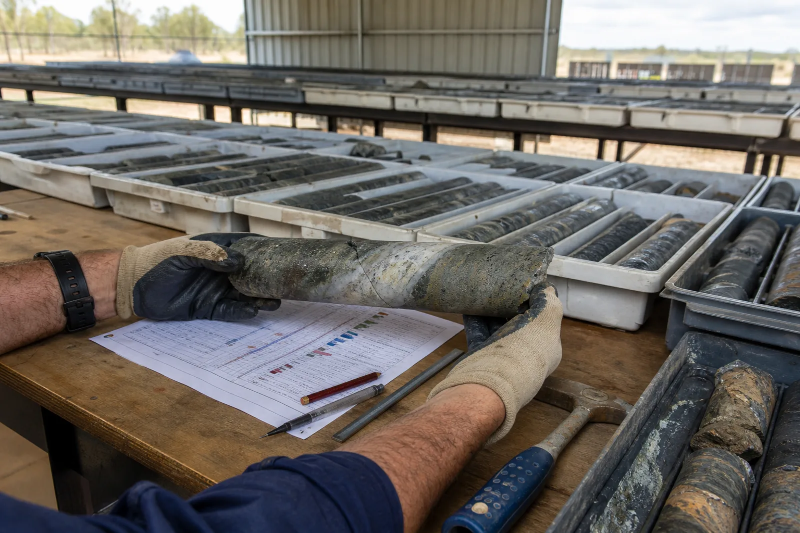
Illustrative commissioned editorial image, 2026. It is not evidence for any site named in this report.
Dating & evidence note
This is a new 2026 report. It does not claim to have been published earlier. Counts describe the sourced records in this register at review date and are not production, reserve or legal-status claims.
What this report is for
Black coal in Queensland and NSW basins and brown coal in Victoria’s Latrobe Valley. This page begins with what is actually present in the published register, then points back to the authorities behind those records.
At review date the group comprises 151 operating, 15 in development, 5 care & maintenance. A status is the latest value ingested from the cited release; it should be rechecked with the issuer before operational, commercial or travel decisions.
Coal record map
The map makes distribution legible without implying a tenure boundary. Hover a point to identify the record; use the working list for the full source page.
Coal sites in Australia: the register report171 plotted records
Orientation only. Points are source coordinates for published records; they are not tenure, access or regional boundaries.
Diaries, field notes, maps, assay books and photographs can reconnect names,
places and workings that formal datasets omit. We digitise, preserve and credit —
on your terms, under a written agreement.